Covid-19 in Cape Town
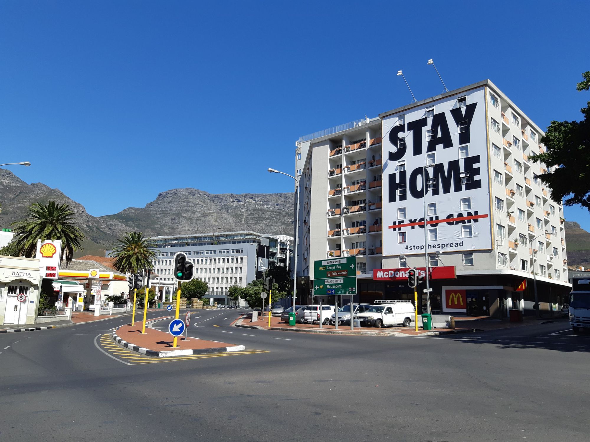
Trending Corona virus in the city. We were hit pretty hard, and we will come back to normal. Stay home and wear a mask and wash your hands please.

At Vanilla we're mainly concerned about our city. We don't get much information at the moment, so we've been following the trends. This daily updated graph maybe helpful. (note: If you put your mouse over the interactive graph below you will see the daily reports). More explained below:
So, the city has been carved into the following regions. We're not entirely sure that they are useful regions for us. They must have been deemed appropriate by the people responsible, but more about how you can help with that later. For now (the good maps are on the western cape government site which is unfrtunately down :(, they will be added here soon:
1. Western (includes from Camps Bay all the way incl Sea Point, Milnerton, Tableview, Blaawberg, Melkbos to Atlantis, Obs, Woodstock and the CBD and some industrial)
2. Southern (includes Hout Bay, Mowbray, Rondebosch, Claremont, Kenilworth, Muizenberg, Scarbourough, Simons Town, Fish Hoek, etc)
3. Northern (north of Frans Conradie Drive, includes Bellville, Durbanville, Kraaifontein)
4. Tygerberg
5. Eastern (including Blue Downs and Macassar)
6. Klipfontein (includes Athlone, Gugulethu, Phillipi)
7. Michells Plain
8. Khayalitsha